Battle Ford Syncline (New)
From ILSTRUC
Location
Northeastern Johnson, northwestern Pope, and southernmost Saline County(J-6 and pl. 2)
References
Nelson et al. 1991
Description
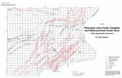
The Battle Ford Syncline, named for Battle Ford Creek, lies between the McCormick and New Burnside Anticlines. It is an asymmetrical trough with a long gentle southeast limb (dip 2-3°) and a short, relatively steep northwest limb (dip 5-10°, locally steeper). The axis of the syncline is about 1 mile (1.6 km) southeast of the crest of the New Burnside Anticline. The eastern terminus of the syncline is abruptly closed off and crossed by the Winkleman Fault Zone, a northeast-trending fault zone. At its western end, the Battle Ford Syncline gradually loses expression, as the flanking anticlines die out.
