Horton Hill Anticline
Part of the Fluorspar Area Fault Complex
Location
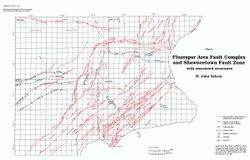
From Section 8, T11S, R7E, Pope County to Section 28, T10S, R7E, Saline County (pl. 2)

References
Butts 1917, 1925, S. Weller et al. 1920, Cady 1926, J. Weller 1940, Baxter et al. 1967
Description
The most recent and detailed map of this structure is that of Baxter et al. (1967). According to this map, the anticline lies between and strikes parallel with the Shawneetown Fault Zone and the southwestern end of the Eagle Valley Syncline. The Horton Hill Anticline can best be described as a local reversal in the general southeastward dip of the strata between fault zone and syncline. Dips on the southeast limb reach 35°, whereas the northwest limb dips less than 10° in most places. Several faults complicate the structural picture.
