Bay Creek Syncline (New)
From ILSTRUC
Location
Northwestern Pope County (J, K-6 and pl. 2)
References
Nelson et al. 1991
Description
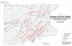
The axis of the Bay Creek Syncline is approximately 2 miles (3.2 km) southeast of the McCormick Anticline and strikes northeast, parallel with it. The northwest limb of the syncline exhibits a variable dip of 5° to more than 10°. The southeast flank of the trough is gentle; essentially this flank represents regional dip of the strata slightly west of north at 3° or less. The Bay Creek Syncline dies out gradually at both ends.
